Prague Floods in 2002 and 2013
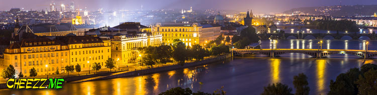
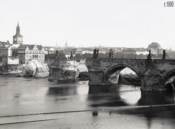
The Vltava has shaped Prague’s geography and exposed the city to repeated floods. Two modern events stand out: the destructive European flood of August 2002 and the high water of June 2013 documented in the photographs on this page.
The images show closed embankments, flood barriers and a city waiting for the river to peak. They should be read as a historical record rather than current travel conditions.
On this page
The scale of the 2002 flood
Heavy rain across the Vltava basin pushed water through Prague in August 2002. Low-lying districts suffered severe damage, residents were evacuated and Metro stations flooded. Cultural institutions near the river, including parts of the zoo, faced major losses and a long recovery.
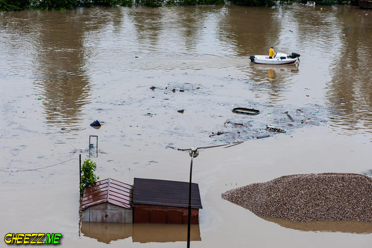

The disaster changed Prague’s flood planning. Mobile barriers, pumping systems and new procedures were developed or expanded along vulnerable banks. Later high-water events tested that infrastructure under different conditions rather than repeating the same pattern exactly.

What happened in June 2013
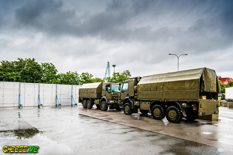
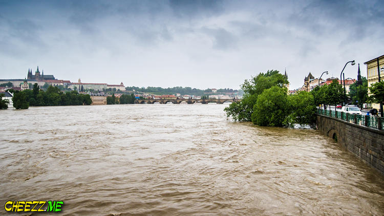
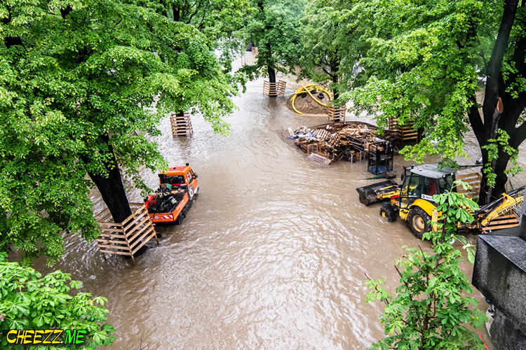
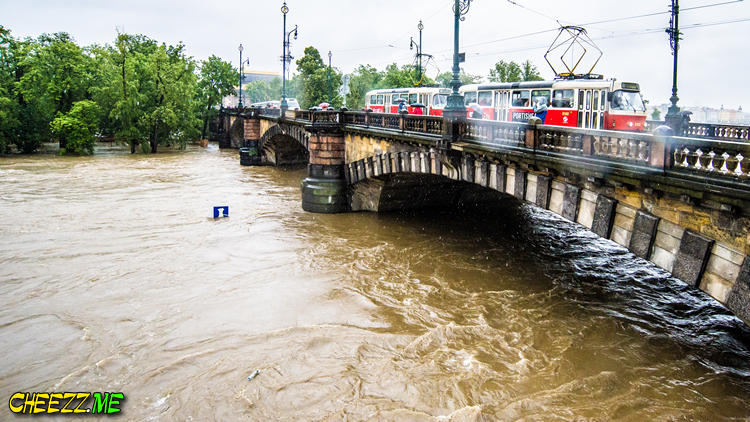
Persistent rain raised rivers across Czechia at the start of June 2013. Prague closed sections of the Metro, riverfront roads and bridges to reduce risk. Barriers protected central areas while emergency teams monitored tributaries, reservoirs and low districts. The flood caused disruption and damage, but the defenses installed after 2002 reduced the impact on the historic center. Photographs from the period show an unusually broad, fast river and empty transport corridors. Conditions varied by neighborhood and changed hour by hour.

Reading the photographs responsibly
A flooded walkway or closed bridge in one image does not describe the entire city. Captions should identify the date and viewpoint whenever possible. Comparisons with ordinary river levels help explain scale without exaggerating danger beyond the recorded event.

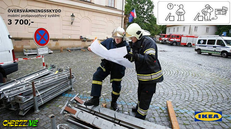
The series also documents practical responses: temporary walls, sandbags, volunteer work and traffic changes. Faces and emergency operations deserve respectful treatment. Avoid reusing historical photographs beside a current warning unless the date is unmistakable.

Current high-water travel advice
During prolonged rain, consult official city, transit and hydrometeorological notices. Do not cross barriers or enter closed river paths for a photograph. Boat services, ferries and embankment events may stop before central streets show obvious flooding. Hotels and attractions away from the river can operate while selected routes remain closed. Build decisions from current district-level information rather than historical images or social posts without dates. Emergency instructions take priority over an itinerary.